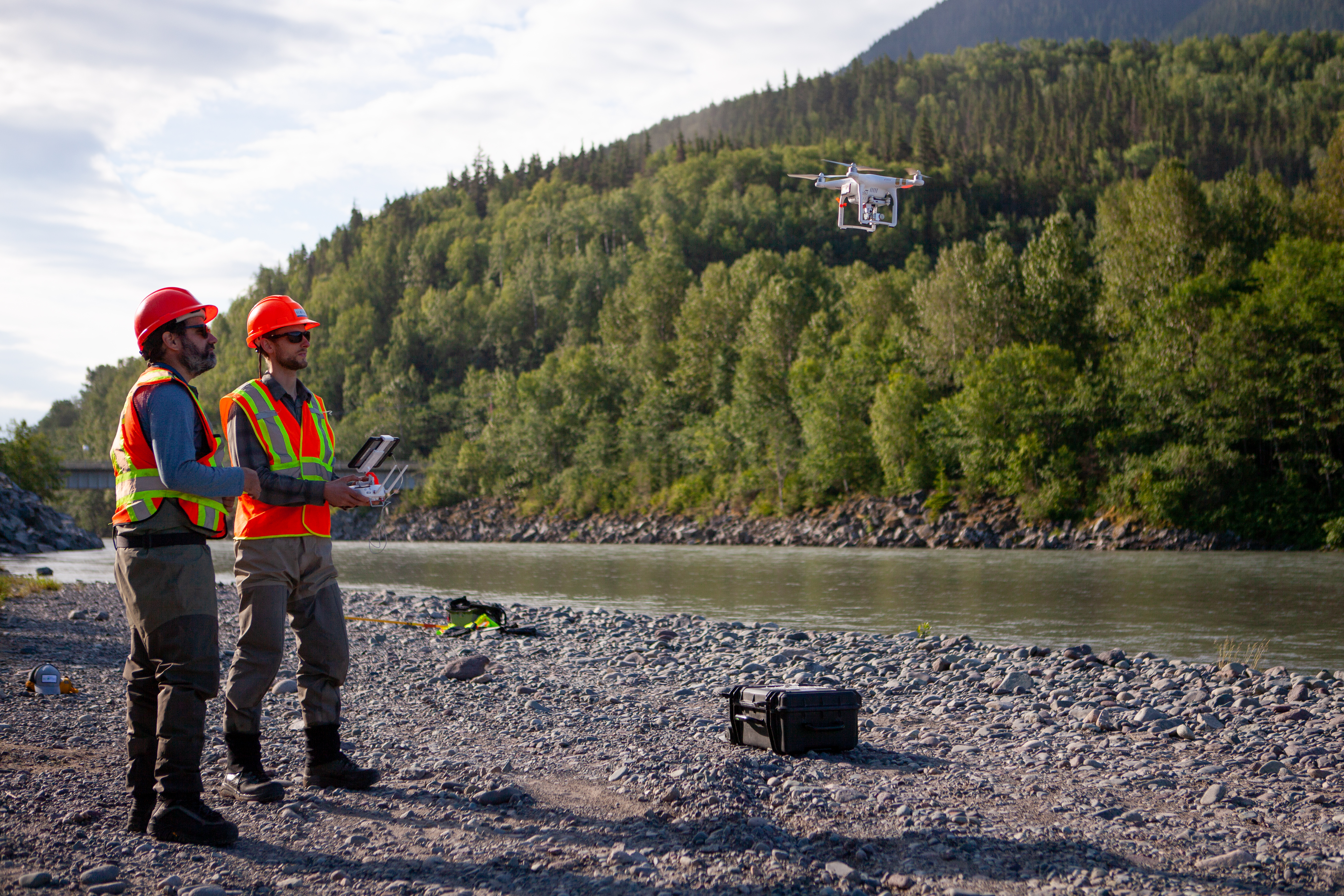
We can mobilize our Unmanned Aerial Vehicles (UAVs) to get a complete picture of every project, no matter how remote or inaccessible the environment.
What it involves
Many projects are located in challenging locations, for example involving mountainous terrain and thick tree canopy.
Unmanned Aerial Vehicles (UAVs) are lightweight radio controlled aircraft that enable the collection of more accurate field data and generate new and vital insights. UAVs can:
- collect environmental assessment and monitoring data in key areas of environmental significance that were either previously too dangerous or impractical to access
- provide high-resolution, orthorectified aerial imagery (e.g., 0.5 cm per pixel) and digital surface models (e.g., 18,000 three dimensional points per m3)
- reduce surveyor subjectivity and provide more certainty than traditional methods.
What we offer
We have developed expertise in the best and most appropriate UAV system for the type of locations our work takes us to, and have acquired a detailed knowledge of UAV governmental regulatory processes.
Our staff members are fully trained in all aspects of UAV maintenance, safety, and data collection. Making full use of technology in this way enables us to pass on efficiencies to clients and keep projects on track.